Log in
All resources
Create a design
33,741 Free Images of 1732 Maps
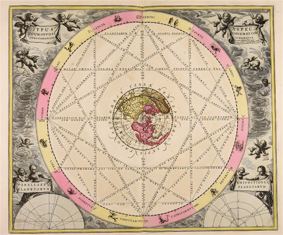
gerard valck
maps made in the 17th century
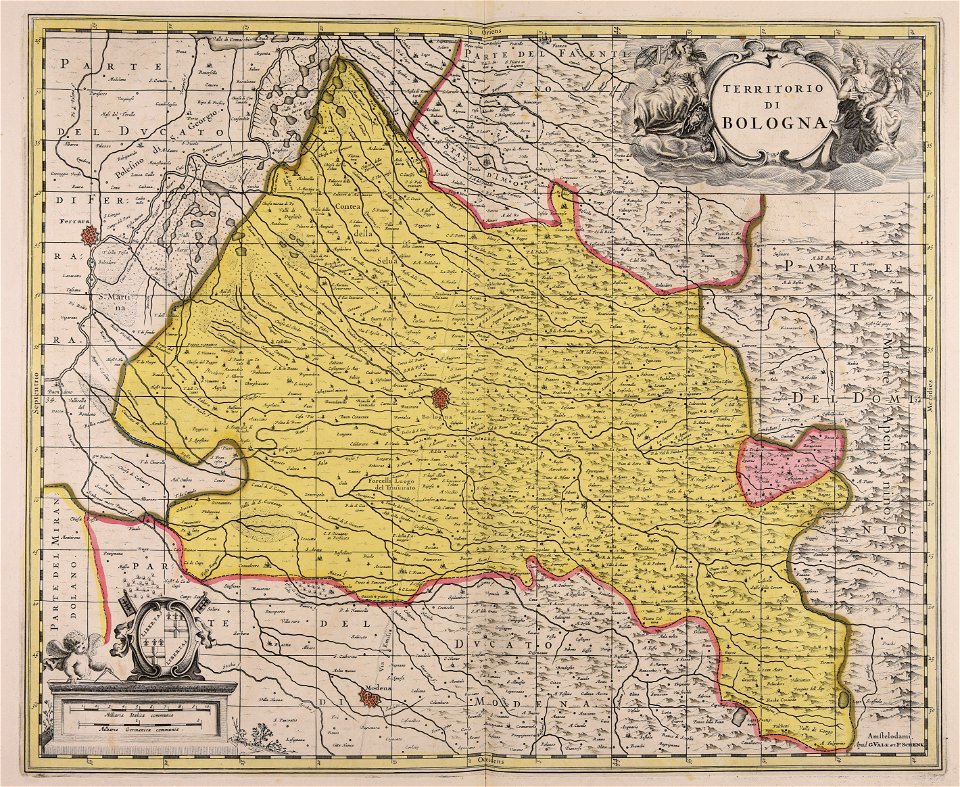
maps by pieter schenk (i)
maps from the mechanical curator collection
maps from the mechanical curator collection available to georeference
atlantis magni tomus quartus (biblioteca comunale di trento)
maps made in the 18th century
atlantis magni tomus tertius (biblioteca comunale di trento)
atlantis magni tomus quintus (biblioteca comunale di trento)
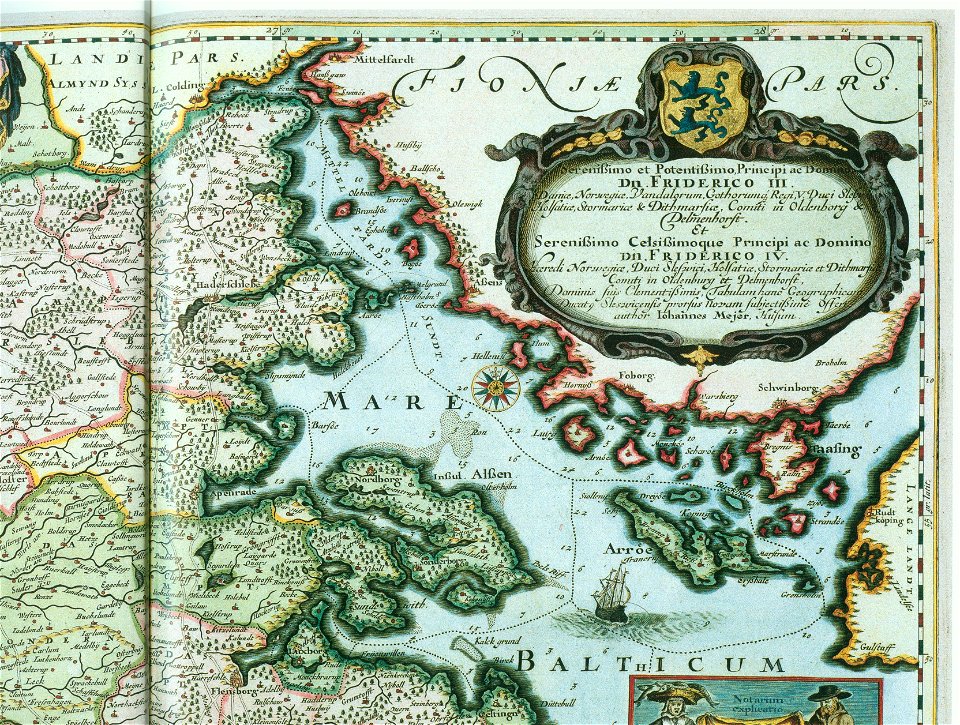
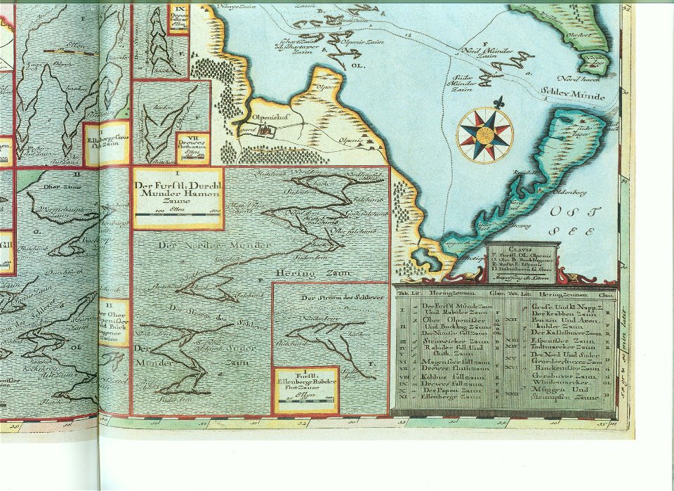
maps by johannes mejer
maps by johannes mejer
schlei
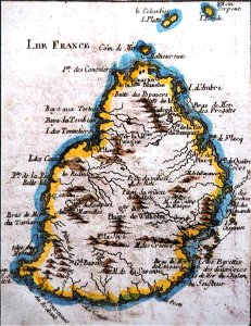
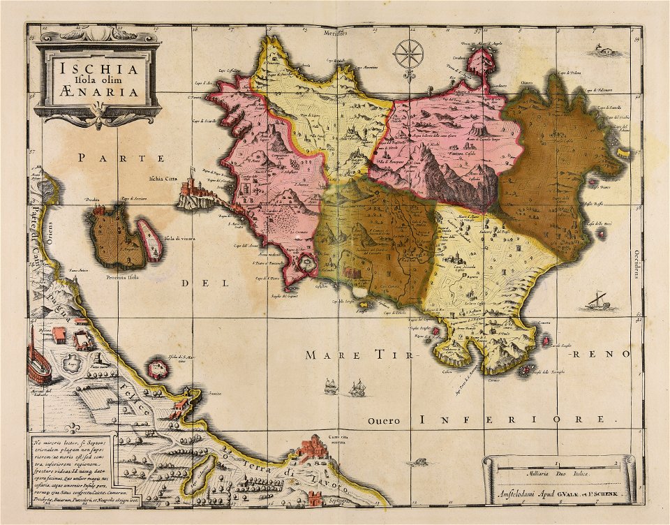
old maps of mauritius
robert surcouf
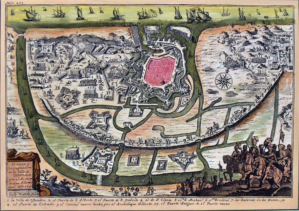
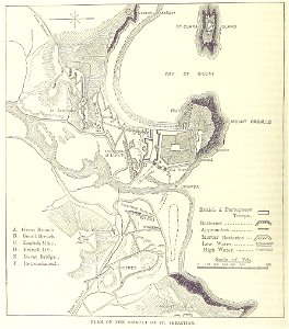
siege of ostend
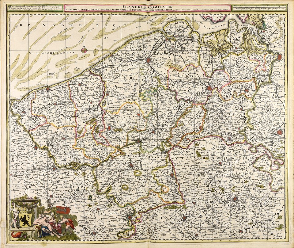
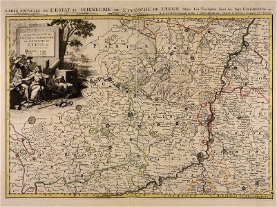
low country
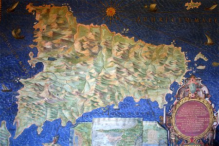
sicilia (galleria delle carte geografiche)
old maps of sicily
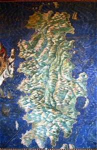
sardinia (galleria delle carte geografiche)
old maps of sardinia
old maps of bredevoort
pikemen
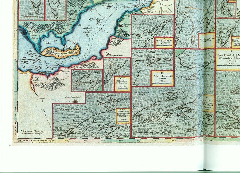
ducatus sleswicum sive justia australis
maps by johannes mejer
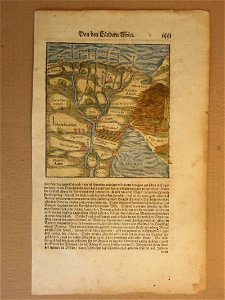
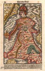
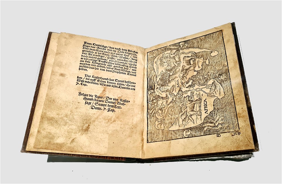
cosmographia (1600) by sebastian münster
1600s maps of egypt
ducatus sleswicum sive justia australis
maps by johannes mejer
maps by johannes mejer
schlei
maps by johannes mejer
schlei
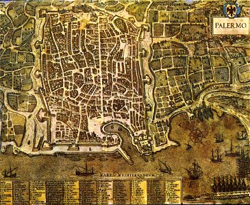
palermo
1581
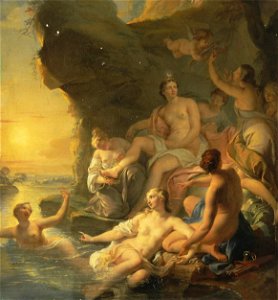
1730s paintings from france
noël-nicolas coypel
facing right and looking at viewer
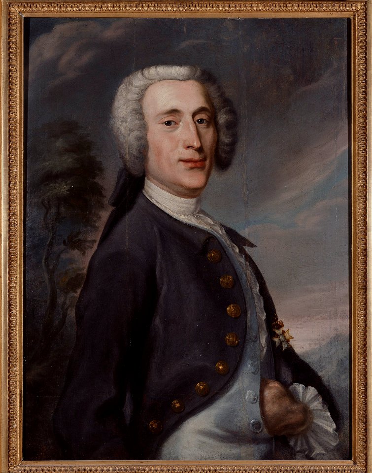
johan joachim streng
19th-century portrait paintings in the museo del prado
posthumous portraits
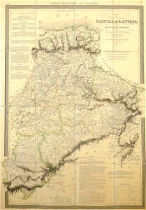
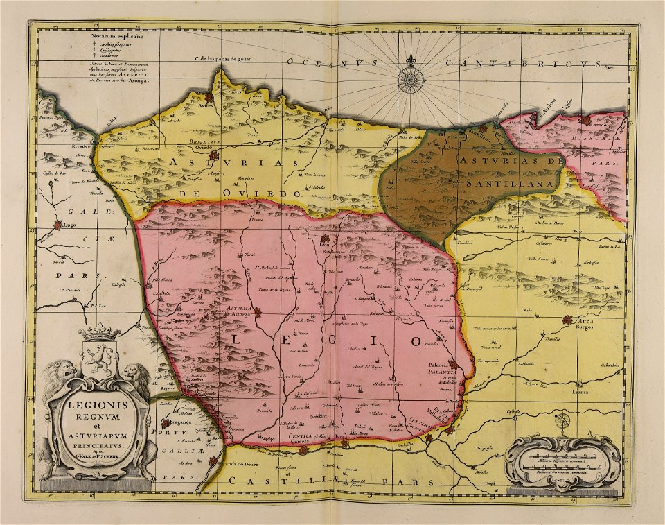
la rioja (spain) in the 19th century
cantabria in the 19th century
maps from the mechanical curator collection
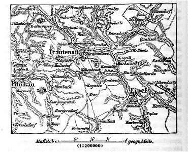
battle of trautenau
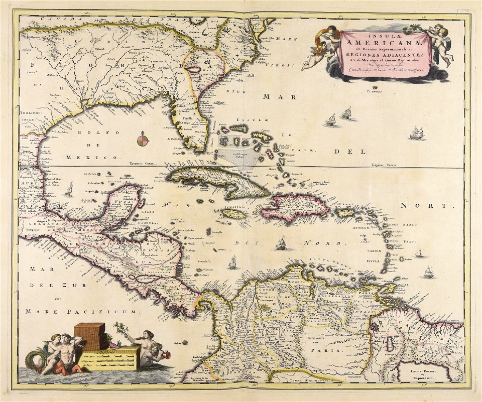
18th-century maps of hispaniola
1780 in the caribbean
maps with cartouches
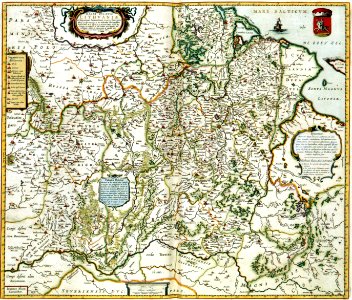
curonian
cartography
bohemia
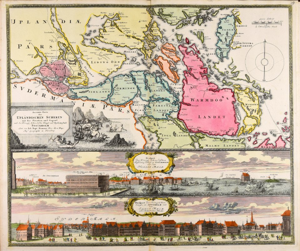
18th-century maps of stockholm
veduta
maps made in the 17th century
gerard valck
maps made in the 17th century
gerard valck
maps made in the 17th century
gerard valck
prints from the peace palace library
utrecht in the 18th century
collections de la bibliothèque nationale et universitaire de strasbourg
johann baptist homann
drawings in the stadsarchief amsterdam
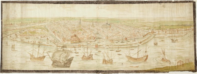
anthonis van den wijngaerde
atlantis magni tomus tertius (biblioteca comunale di trento)
maps made in the 17th century
maps made in the 17th century
gerard valck
maps made in the 17th century
gerard valck
maps from the mechanical curator collection
british battles on land and sea
maps from the mechanical curator collection
british battles on land and sea
engravings of theatrum europaeum
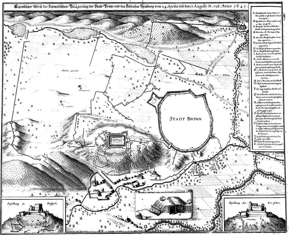
1645 maps
17th-century maps of france
maps with cartouches
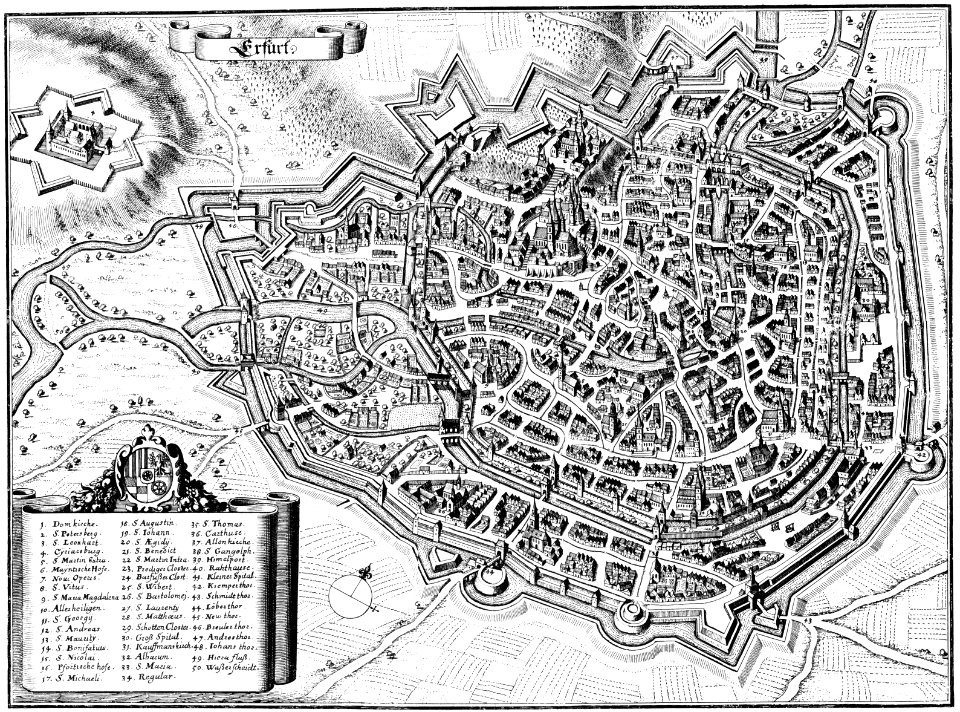
maps of erfurt
erfurt
university of toronto wenceslas hollar digital collection
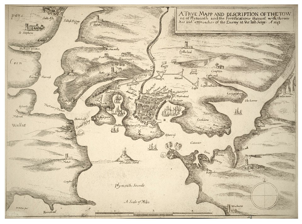
english civil war
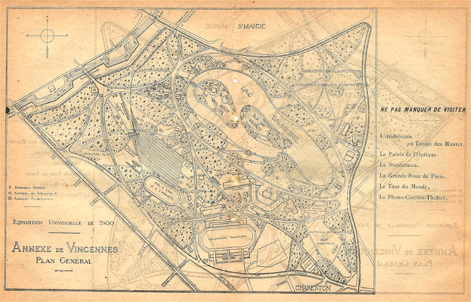
illustrations du catalogue remboursable de l'expo 1900
maps of the exposition universelle (1900)
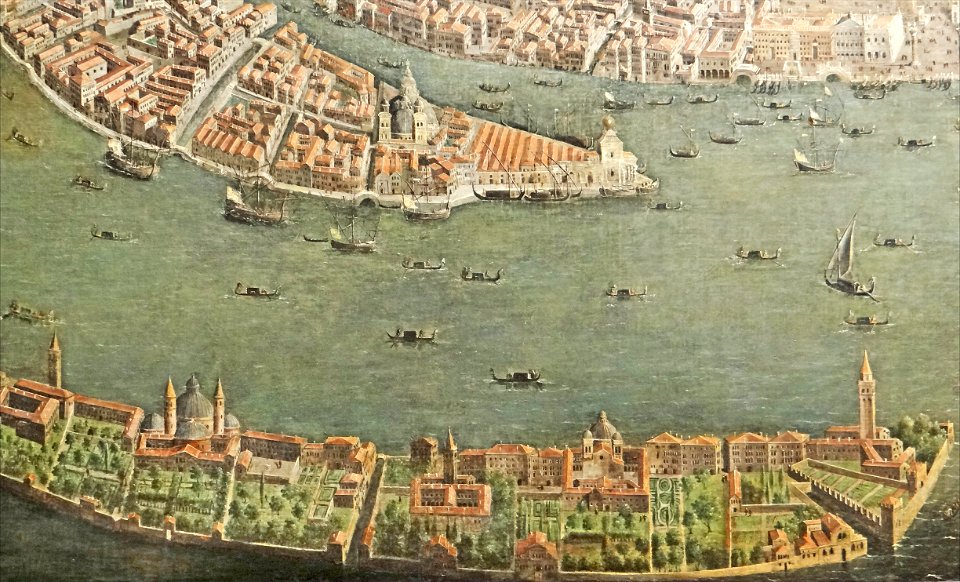
paintings of san giorgio maggiore (venice)
17th-century paintings from italy
maps made in the 17th century
nicolaes visscher ii
maps made in the 17th century
nicolaes visscher ii
maps made in the 17th century
gerard valck
maps made in the 17th century
gerard valck
collections de la bibliothèque nationale et universitaire de strasbourg
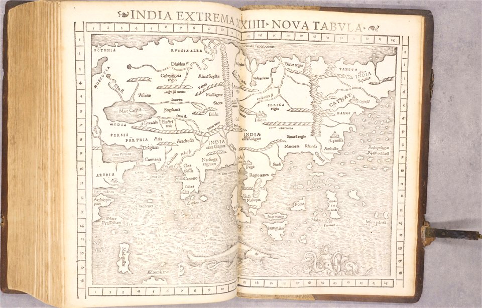
old maps of asia
mannheim in the 17th century
maps of mannheim
maps made in the 18th century
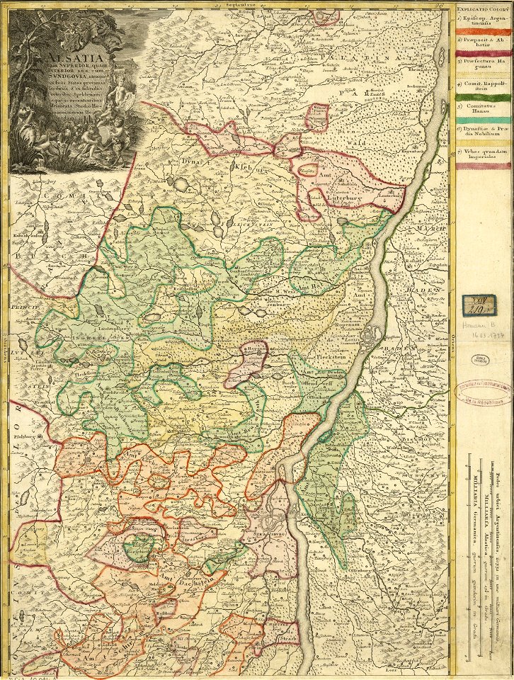
johann baptist homann
maps from the mechanical curator collection
british battles on land and sea
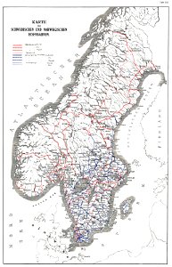
history of rail transport in norway
rail transport maps of norway
1780 in brazil
1780 maps
maps made in the 18th century
johann baptist homann
maps made in the 17th century
gerard valck
maps of waterways in the netherlands
collections of stadsarchief delft
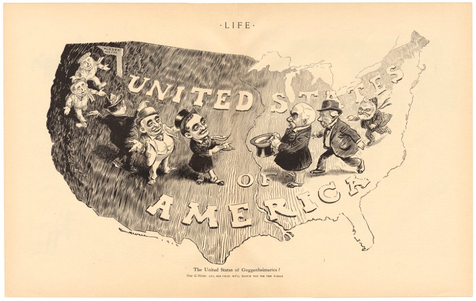
life
1912
university of toronto wenceslas hollar digital collection
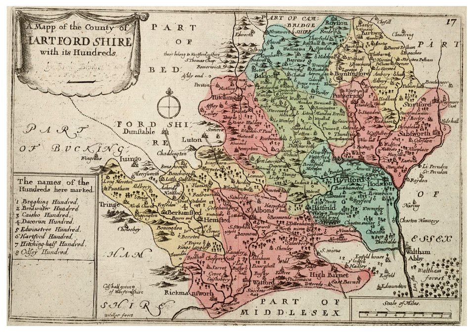
old county maps of sussex
university of toronto wenceslas hollar digital collection
history of watford
university of toronto wenceslas hollar digital collection
old county maps of cheshire
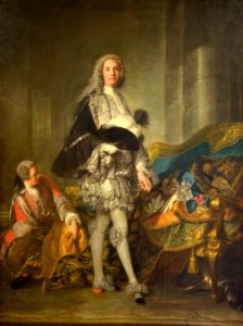
18th-century portrait paintings in the musée national du château de versailles
female
male portrait paintings by jean-marc nattier
allonge wigs in paintings
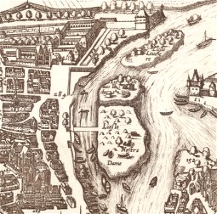
old maps of île de la cité
île saint-louis
coats of arms of blois
henry
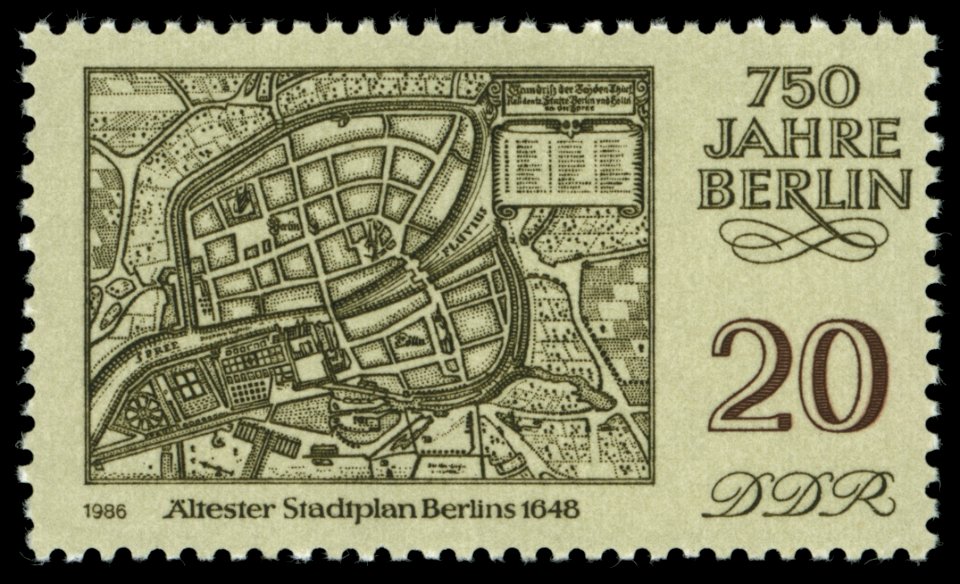
maps of the history of berlin
17th-century maps of berlin
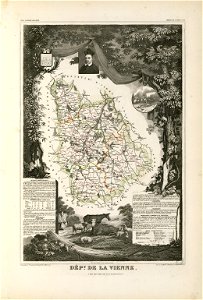
coats of arms of cities in vienne
frédéric-auguste laguillermie
maps made in the 17th century
guillaume sanson
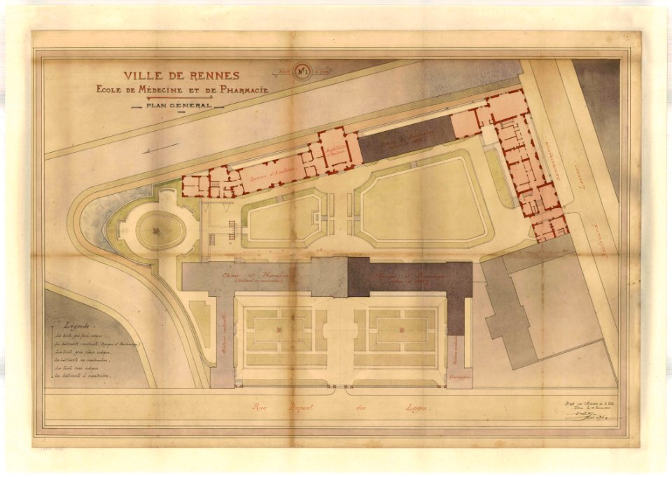
rennes in the 1900s
old maps of rennes
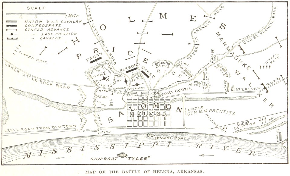
battles and leaders of the civil war (1887)
maps from the mechanical curator collection
illustrated battles of the nineteenth century
1895 drawings
illustrated battles of the nineteenth century
1895 drawings
illustrated battles of the nineteenth century
1895 drawings
old maps of braunschweig
atlas van der hagen
carolus magnus in art
allegory
hand-drawn maps and views of world war i battlefields by h.m.
1917 maps of lithuania
gerard valck
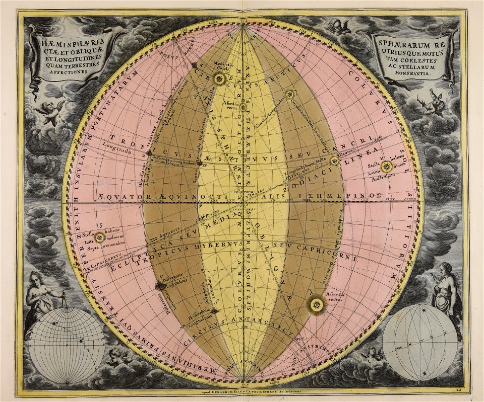
earth
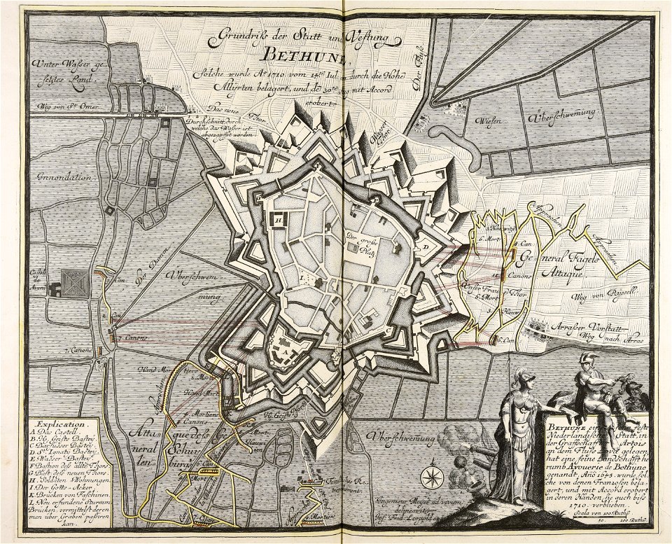
old maps of béthune
1710
war of the spanish succession
1710
gerard valck
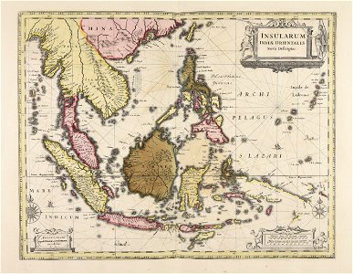
indonesia
prints from manesson travaux de mars at the peace palace library
fortifications in france
coats of arms on maps
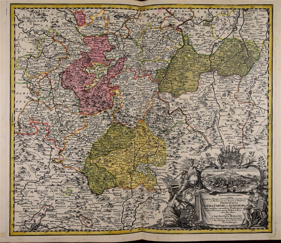
thüringiae
maps made in the 18th century
gerard valck
maps made in the 18th century
johann baptist homann
charts and maps of the royal museums greenwich
1590 maps
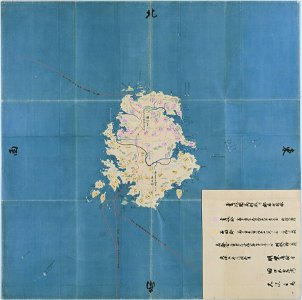
nagasaki
iki
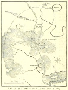
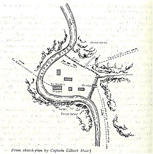
military history of new zealand
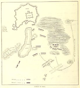
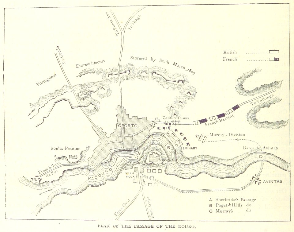
maps of battles
maps by pieter schenk (i)
gerard valck
maps by willem and johannes blaeu
circumvallation
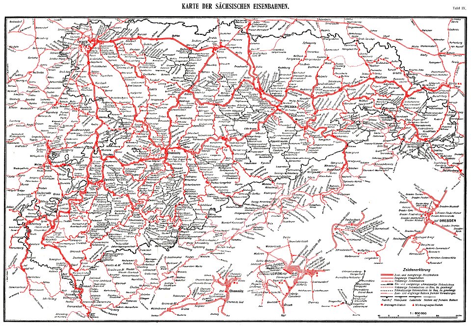
königlich sächsische staatseisenbahnen
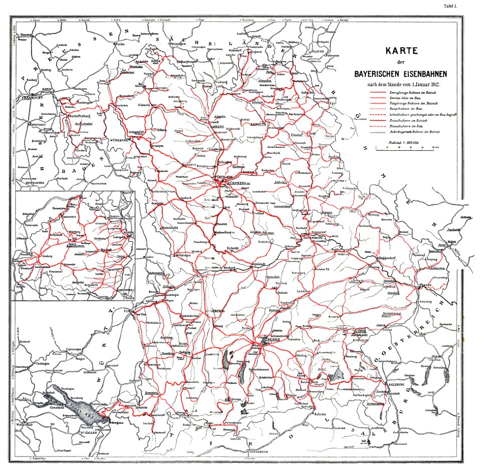
enzyklopädie des eisenbahnwesens
1912 in rail transport in germany
enzyklopädie des eisenbahnwesens
prince-bishopric of osnabrück
gerard valck
maps in the rijksmuseum amsterdam
old maps of haarlem
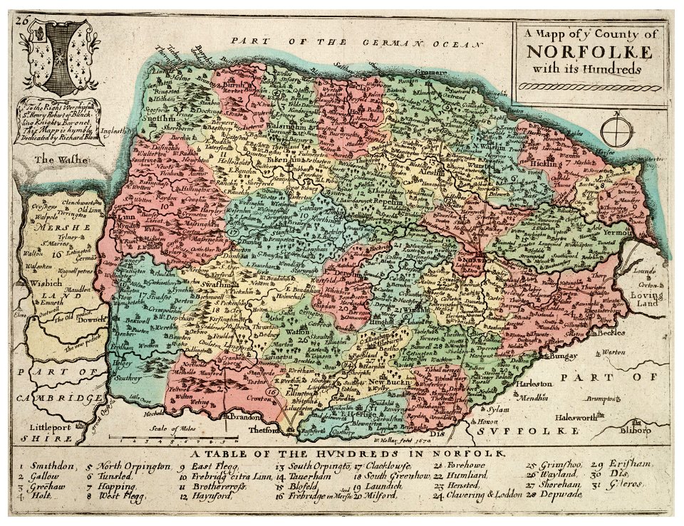
history of norfolk
england
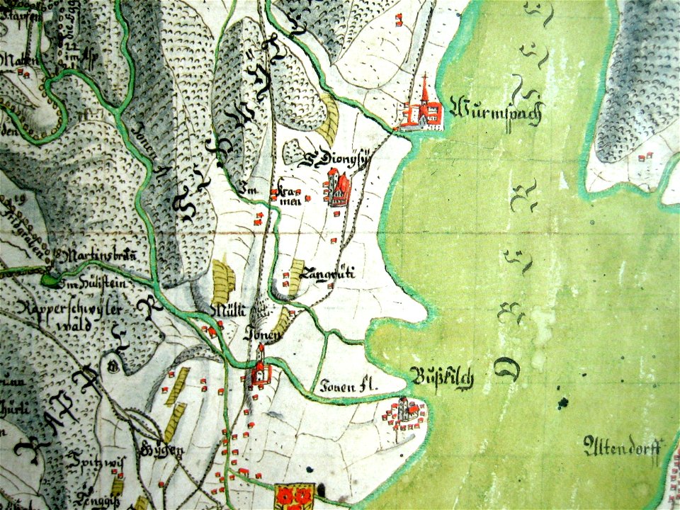
mariazell wurmsbach abbey
gygerkarte
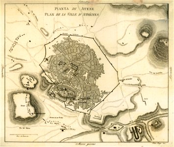
old maps of athens
1805
images from akg-images
siege of vienna
lawrence h. slaughter collection of english maps, charts, globes, books and atlases
nypl lionel pincus and princess firyal map division
waldburg (adelsfamilie)
coats of arms on maps
charts and maps of the royal museums greenwich
joan martines
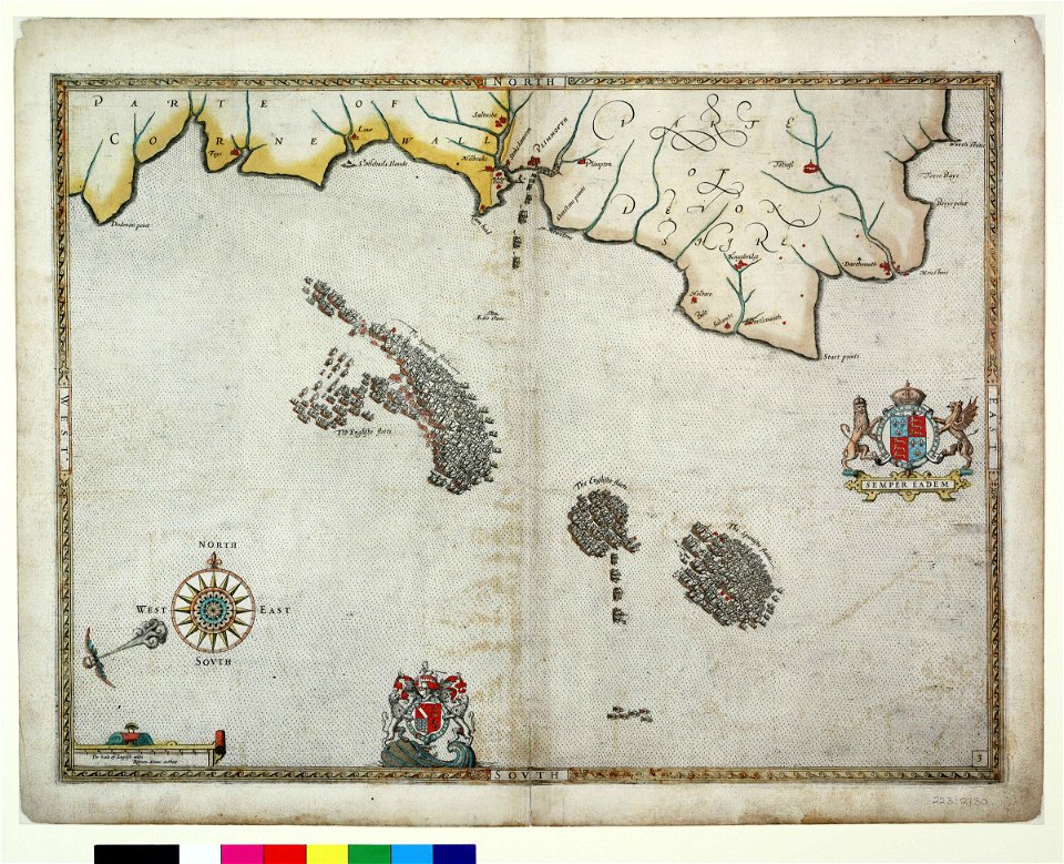
old maps of england
1552
old maps of switzerland
1552
old maps of asia
1552
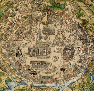
collections of staatsbibliothek bamberg
history of bamberg
maps of gamla stan
1862 in stockholm
old maps of bohemia
1552
7301 - 7400 of 33,741
Next page
/ 338